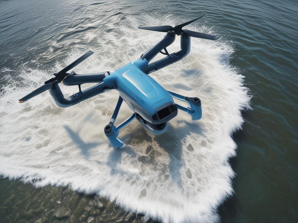
As marine ecosystems face increasing threats from climate change, pollution, and human activity, the need for effective monitoring and conservation strategies has never been more urgent. Discover how advanced drone technology revolutionizes coastal ecosystem monitoring, providing researchers and conservationists with unprecedented tools to gather data rapidly and accurately. Drones equipped with high-resolution cameras and multispectral sensors enable detailed assessments of marine biodiversity and habitat health, offering insights that were once difficult, if not impossible, to obtain.
In this blog post, we will explore the transformative role of drones in assessing coastal ecosystems and highlight innovative applications that enhance conservation efforts. From mapping seagrass beds to tracking wildlife populations, drones are reshaping our approach to marine conservation in ways that promote sustainability and resilience. Join us as we delve into the ways drone technology aids in monitoring coastal ecosystems and the exciting future it holds for protecting our oceans.
Discover how advanced drone technology revolutionizes coastal ecosystem monitoring
In recent years, advanced drone technology has transformed the way scientists and conservationists monitor coastal ecosystems. Drones equipped with high-resolution cameras and sensors can capture detailed imagery, enabling researchers to survey vast areas of marine environments quickly and efficiently. This aerial perspective helps them identify changes in habitat conditions, monitor wildlife populations, and assess the overall health of coastal ecosystems without disturbing delicate environments. By utilizing drones, conservationists can collect real-time data that supports informed decision-making and enhances conservation efforts.
Moreover, drones significantly reduce the costs and risks associated with traditional monitoring methods, such as boat surveys and on-foot assessments. These unmanned aerial vehicles can access hard-to-reach locations and cover extensive areas in a fraction of the time, allowing researchers to gather critical information more frequently. As a result, drone technology plays an essential role in facilitating effective marine conservation strategies, ultimately contributing to the preservation of biodiversity and the sustainability of coastal habitats. Through innovative use of this technology, scientists can better understand the complex dynamics of marine ecosystems and respond proactively to emerging threats.
The role of drones in assessing marine biodiversity and habitat health
Drones play a vital role in assessing marine biodiversity and habitat health by providing aerial perspectives that traditional methods often miss. Equipped with high-resolution cameras and sensors, drones can capture detailed images of coastal ecosystems, such as coral reefs, mangroves, and seagrass beds. These images facilitate the monitoring of various marine species and their habitats with great precision. Researchers can analyze these visuals to identify changes in species populations, assess habitat degradation, and monitor recovery efforts after conservation interventions. The efficiency of drones allows scientists to gather data over vast areas in a fraction of the time it would take using ground surveys.
Furthermore, drones enable real-time data collection, allowing researchers to respond promptly to environmental threats. By integrating data collected from drones with other technologies, such as AI and machine learning, scientists can develop predictive models that forecast changes in marine environments. These models help conservationists understand how factors like climate change, pollution, and overfishing impact marine biodiversity. As a result, drones not only enhance our ability to monitor coastal ecosystems but also empower us to make informed decisions that promote the long-term health of our oceans.
Innovative drone applications for effective conservation strategies in coastal regions
Drones play a pivotal role in the implementation of innovative conservation strategies within coastal regions. Equipped with high-resolution cameras and advanced sensors, they allow researchers to gather real-time data on coastal habitats without disturbing the ecosystem. For instance, drones can conduct regular aerial surveys to monitor shoreline erosion, assess the health of coral reefs, and track marine wildlife populations. These capabilities enable conservationists to identify and address potential threats to marine environments quickly and effectively.
Moreover, drone technology enhances community outreach and public awareness initiatives. Conservation organizations can use drone footage to create compelling visual content that illustrates the beauty and fragility of coastal ecosystems. This not only educates the public about the importance of preservation efforts but also fosters community engagement in conservation activities. Engaging local stakeholders through drone imagery can inspire collective action, driving support for sustainable practices and policies that protect these vital coastal habitats for generations to come.